

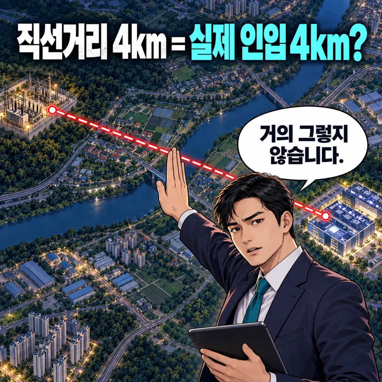
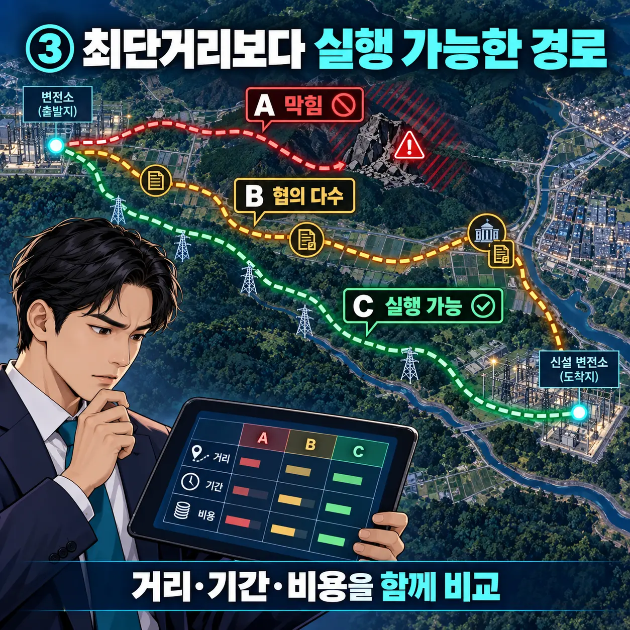
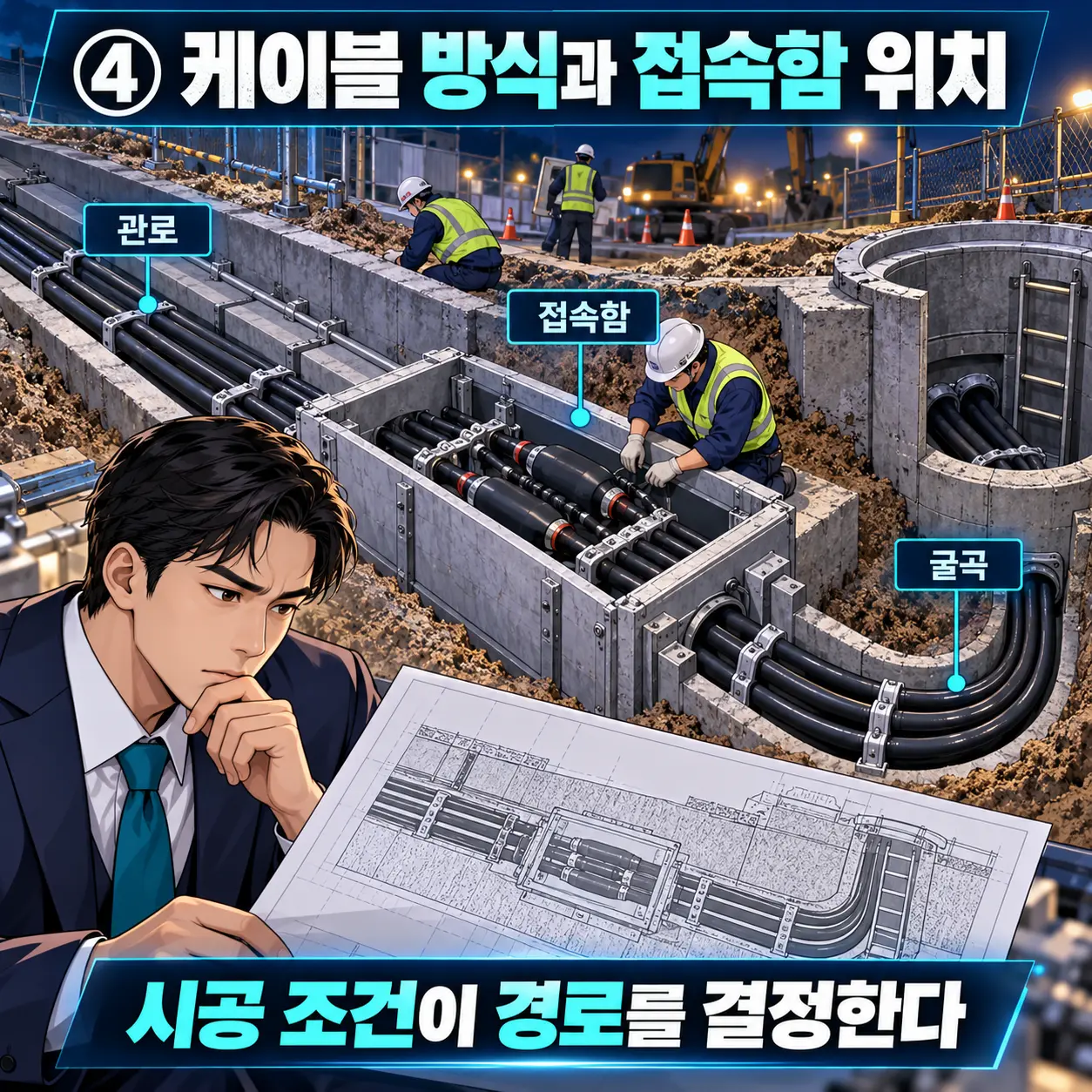


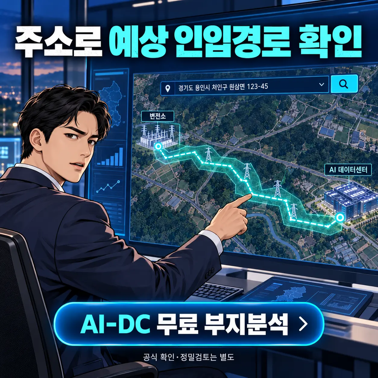

The straight-line distance between a substation and a site is merely a starting point. The actual route must be calculated by taking into account passable corridors, obstacles, cable installation conditions, and the time required for permits and consultations.
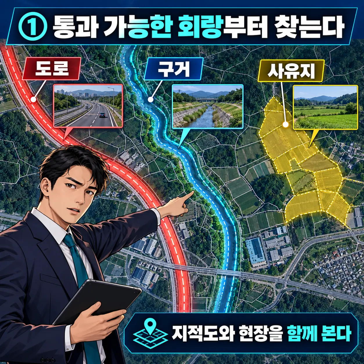
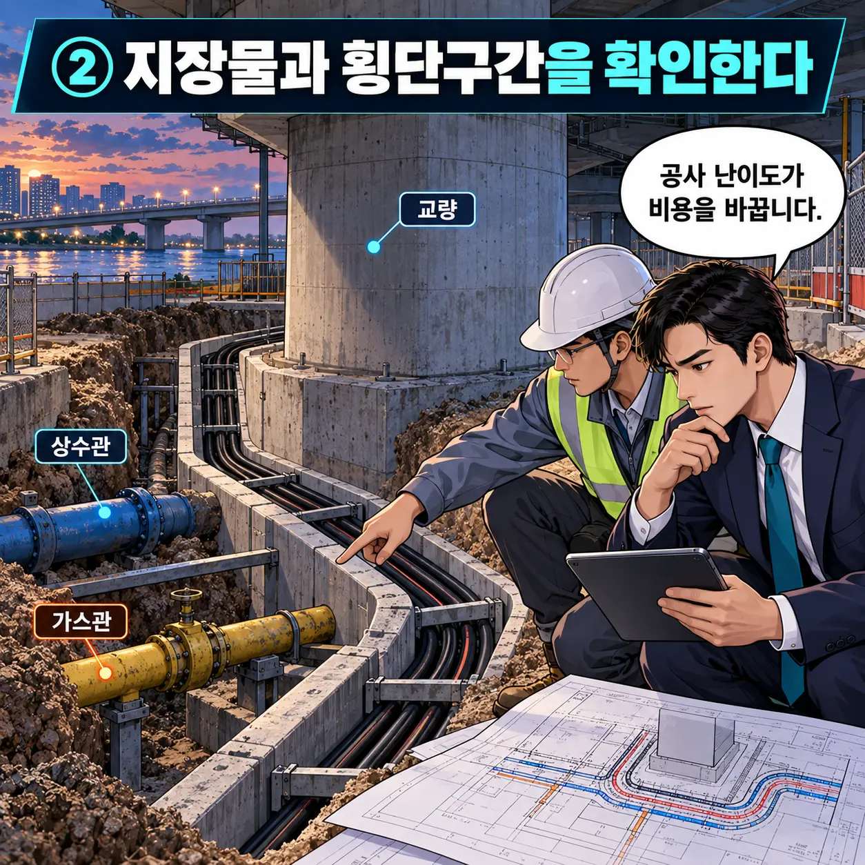
Verify the feasibility of crossing roads, ditches, public land, and private property by referring to cadastral maps and conducting on-site inspections, and be sure to account for the locations of bridges, waterways, existing underground utilities, curves, and junction boxes. Even for the same distance, costs and schedules can vary significantly depending on construction difficulty and the number of agencies involved in the consultation process.
The estimated feed-in distance is not merely a line on a map, but a set of development conditions that combine distance, construction costs, permits, and schedules. AI-DC’s basic automated analysis is a tool for comparing initial candidate sites; the final route and supply conditions must be officially confirmed through relevant agencies and professional design processes.
Start a free site analysis by entering your address →